Cumbemayo
The aqueduct of the CajamarcasCumbemayo Aqueduct
It is located 20 km west of the city of Cajamarca, at an altitude of 3,500 meters above sea level.
Its name derives from “Cumbe” (fine or refined) and “Mayo” (river)—which in Quechua means “fine river.”
This canal was discovered in 1937 by Ernesto Puente, administrator of the San Cristobal hacienda (Chilango Valley, near Magdalena). While clearing land, he found a canal carved into rock, along with large stones and walls with petroglyphic inscriptions.
During the Marañon Archaeological Expedition in 1937, the archaeologist Julio C. Tello made a brief description of his partial visits to the aqueduct. The most comprehensive study was carried out in 1947 by George Petersen, whose findings were published in 1967.
This aqueduct dates back to the Formative Period. Its purpose was to supply water to the city of Cajamarca. It collected water from the waterfalls of the Majona, Yanacagua, Concejo, Frailones, and Cumbe hills. The canal carried the water to a large reservoir, from which it was distributed.
According to Julio C. Tello, Cajamarca received its water from two large wells located to the west of the city, in what is now the grounds of San Ramon School, which were supplied by the Cumbemayo canal. If this is true, these ponds would have fed the fountains and pools present in 1532 in the courtyards of the Inca quarters, as mentioned by Spanish chroniclers of the time.
There is some disagreement about its exact length: Petersen states it is 9 km, while Roger Ravines claims it is 7.6 km.

DIVISION:
Western Side of the Andes: Section 1
-
First Segment: Carved in rock – 850 meters
-
Second Segment: Built along the hillside – 2,600 meters
-
Total from intake to mountain pass (abra): 3,450 meters
Eastern Side of the Andes: Section 2
-
Third Segment: From the pass to the Cajamarca reservoir – 5,650 meters
-
Total length: 9,100 meters

FIRST SEGMENT
Length: 850 meters, starting at the intake point at approximately 3,513 m.a.s.l.
This section was carved into whitish volcanic rock. Its width varies between 35 to 50 cm. and its depth between 30 to 65 cm.
To slow down the flow of water, the canal features zigzagging sections.
SECOND SEGMENT
Length: 2,600 meters, extending from the end of the carved rock canal to the mountain pass at the continental divide, located at about 3,350 m.a.s.l.
THIRD SEGMENT
Length: 5,620 meters, starting at the pass and descending through the San Vicente ravine, passing Relingo to a site known as Agua Tapada, where a stone channel crosses the bridle path between Cumbe and Cajamarca.
It then continues along a ravine until it reaches a reservoir at the foot of Santa Apolonia hill.
Recent Posts

El Brujo and the Lady of Cao
El Brujo and the...
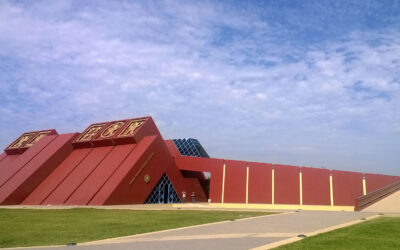
Sipan Royal Tombs Museum
The Sipan Royal...

The Lambayeque Civilization
The Lambayeque...
0 Comments